





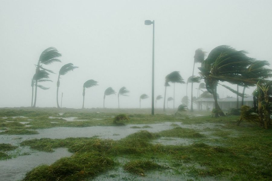
Florida has declared a state of emergency as Tropical Storm Isaias churns through the Gulf and forecasters warn it could rapidly strengthen into a dangerous hurricane before striking the U.S. Gulf Coast.
As of Wednesday morning, Isaias was located about 285 miles west of Progreso, Mexico, and roughly 580 miles southwest of the mouth of the Mississippi River.
The storm was packing maximum sustained winds of 40 mph and moving east-northeast at about 8 mph.
Forecasters expect Isaias to strengthen quickly over the next couple of days and potentially become the first hurricane of the 2026 Atlantic season.
The National Hurricane Center said in a statement: ‘Although not seen in the forecast, some weakening seems likely when the storm nears the Gulf Coast due to an increase in vertical wind shear, but it is still expected to be a dangerous hurricane when it makes landfall.’
Current projections place the greatest landfall threat somewhere along the northern Gulf Coast late Friday or early Saturday, with areas from eastern Louisiana through the Florida Panhandle urged to monitor the storm closely.
Florida Gov. Ron DeSantis has already signed an executive order declaring a state of emergency in 25 counties across the Panhandle and Big Bend.
‘Floridians should take this time to get disaster plans in place and ensure their hurricane supply kit is stocked,’ Ron DeSantis said in a statement.
The emergency declaration allows the state to begin staging resources before conditions deteriorate.
Florida emergency officials are positioning generators, fuel, flood barriers, bottled water, shelf-stable meals, sandbags and other supplies in preparation for possible impacts.
Residents could face heavy rainfall, damaging winds, coastal flooding and isolated tornadoes even outside the eventual landfall zone.
Forecasts call for three to six inches of rain across portions of the northern Gulf Coast, with isolated totals potentially reaching 10 inches.
RELATED: National Weather Service Warns Millions As Hurricane Trackers Eye New Storm
The greatest threat from storm surge and destructive winds is expected near and just east of wherever the center ultimately comes ashore.
If Isaias intensifies as expected, hurricane-force conditions could develop before landfall, while a broader section of the Southeast could see tropical storm-force winds.
AccuWeather Chief On-Air Meteorologist Bernie Rayno said: ‘Another hazard from the storm will be the risk of severe thunderstorms, including tornadoes and waterspouts.
‘The bulk of the severe weather is likely near and east of the center, but that risk can extend for hundreds of miles to the east this weekend.’
The unusually quiet Atlantic season has yet to produce a hurricane, putting 2026 in rare territory historically.
Meteorologist Matt Devitt said on X: ‘Isaias will likely be one of the most significant storms of the 2026 Atlantic Hurricane Season with a landfall in the US.’
The National Hurricane Center said hurricane watches could be required for parts of the northern Gulf Coast as the system moves closer.
For now, officials are urging residents not to wait until the final forecast is locked in before preparing.
POLL: Should Foreigners Be Banned From Buying American Farmland?
Continue reading...
[ H/T Trending Politics ]